Buncombe County Emergency Management Hurricane Debby Update
Buncombe County -- August 5, 2024: Buncombe County Emergency Manangement: Monday Hazardous Update:
Hurricane Debby made landfall near Steinhatchee, Florida around 7AM this morning with estimated winds of 80 mph. Debby is expected to slow down and turn northeastward today traveling across northern Florida and southeastern Georgia through Tuesday. Rapid weakening is expected and Debby will likely become a tropical storm over northern Florida this afternoon. After Tuesday, confidence decreases in whether Debby will remain inland or move offshore of the southeast U.S coast, but there is high certainty that Debby will move slowly near or over the southeastern U.S coast and bring the potential for life threatening flash flooding, gusty winds, hazardous coastal conditions, and severe storms.
Rainfall and Flooding:
• Several rounds of showers and storms will be possible today, with the greatest coverage expected during the afternoon and evening hours. Most areas will see <0.25” today outside of the southeast where locally higher totals up to 1.5” will be possible. Isolated to scattered areas of flash flooding will be possible across the southeast today due to saturated soils.
• Rainfall coverage will increase from the south late tonight as the outer most rainbands of Debby begin to spread into SE NC. Rain coverage will increase and expand northward Tuesday and Tuesday night, with the greatest totals expected across eastern NC.
• The flooding threat will increase Tuesday, especially along the SE NC/SC border where the Weather Prediction Center has placed a High Risk (Level 4 of 4) for widespread flash flooding Tuesday and Tuesday night. Numerous Flash Floods (Level 3 of 4) will be possible across the southeast with isolated to scattered flash flooding possible across portions of central and eastern NC.
• More widespread and heavier rainfall is forecast Wednesday and Thursday as Debby meanders to the south of NC, with the High Risk for flash flooding spreading farther into southeastern NC Wednesday. High risk days are rare, dangerous, significant, and impactful and are indicative of life-threatening flash flooding.
• Numerous areas of flash flooding will remain possible across southern portions of central and eastern NC Thursday.
• Rainfall will continue on Friday, with isolated to scattered flash flooding forecast across much of NC. Rainfall could linger into the weekend, but uncertainty remains in how fast Debby will move through the southeast U.S.
• Storm total rainfall amounts have continued to trend higher for SE NC over the past few forecasts, with localized amounts up to 20” possible. A widespread 5-12” is forecast across central and eastern NC though Saturday.
• With elevated river levels from recent rainfall and the threat for additional heavy rain, the threat for riverine flooding across portions of central and eastern NC will increase later this week into next week.
Coastal Impacts:
• Coastal impacts will begin to increase as early as Tuesday, with rough surf and dangerous rip currents possible along NC beaches. There is the potential for some storm surge, especially for coastal flood prone locations generally south of Cape Fear beginning on Wednesday. Timing and potential storm surge amounts will be refined as clarity in Debby’s track and strength increases.
Severe and Wind Threat:
• The threat for gusty winds and a few tornadoes will increase especially during the latter half of the week as Debby nears NC. The potential for tropical storm force winds is increasing across SE NC. While tropical storm force winds could arrive as early as late Tuesday, the most likely is expected arrival late Wednesday or Thursday.
• The Storm Prediction Center has placed a Marginal Risk (Level 1 of 5) for isolated severe storms across the SE NC coast Wednesday. Any storm that develops will be capable of producing a few tornadoes. Tornadoes within tropical systems are quick to spin up and typically offer little lead time. The severe threat could increase later in the week depending on Debby’s eventual track.
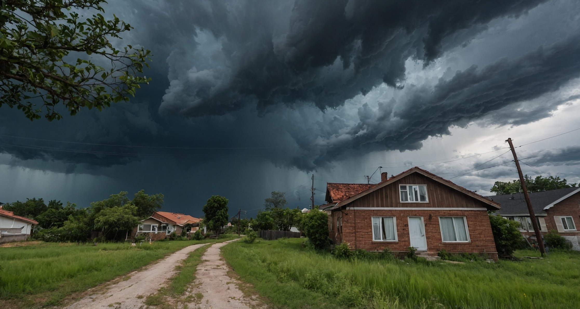
Image: WNCTimes


 How to resolve AdBlock issue?